Herr Heijmen.
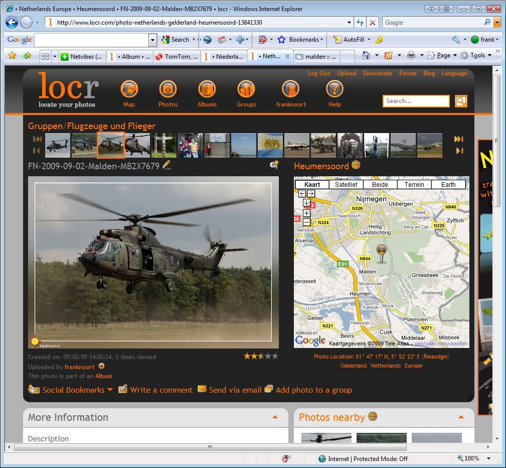
Long time no speak. Locr is a German website and even if you put the main language to English, you will still see a lot of German. Never mind.. Spielerei, ja richtich, aber ziz hole hobby ist Spielerei nicht ? For me, I like to take pictures as a memory for what I have seen, and Geotagging is a way to remember where I have been. You probably remember that I had this big map on the wall a long time ago, plotting with pins where I had been. This is the same, but then an electronic version. I am still busy tagging all my pictures with Geo-info, but one day the map will be ready ! And as far as I remember you kept track of airfields where you have been right ?
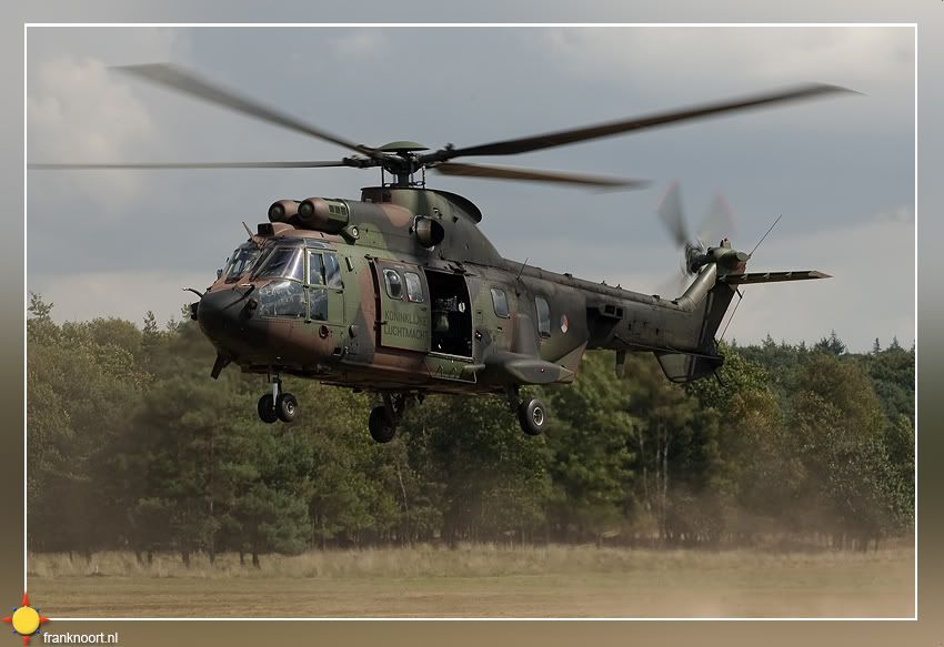
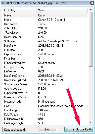
DJ. nice seeing you yesterday! To enter Geo-data into the XMP files of my RAW pictures I have two choices.
1. I have a small device, a I-GotU GPS logger (
http://www.navishop.nl/product_info.php ... ts_id/4714" onclick="window.open(this.href);return false;) which logs time, date and position. Together with the software i can then merge the pictures with the Geo info, as my pictures do have a time stamp as well of course. It is however quite necessary to match the time and date of the camera together with the GPS logger
2. You can also do it manually which is sometimes far easier, if you have been standing on one position and you know exactly where it was. I use the program called Geotagger, which is free. It is available at
http://www.geosetter.de/en/" onclick="window.open(this.href);return false; and I can really recommend it. It works with RAW files, and it can also read the log data of most GPS loggers. It is just a matter of seconds to add GPS data to the pictures.
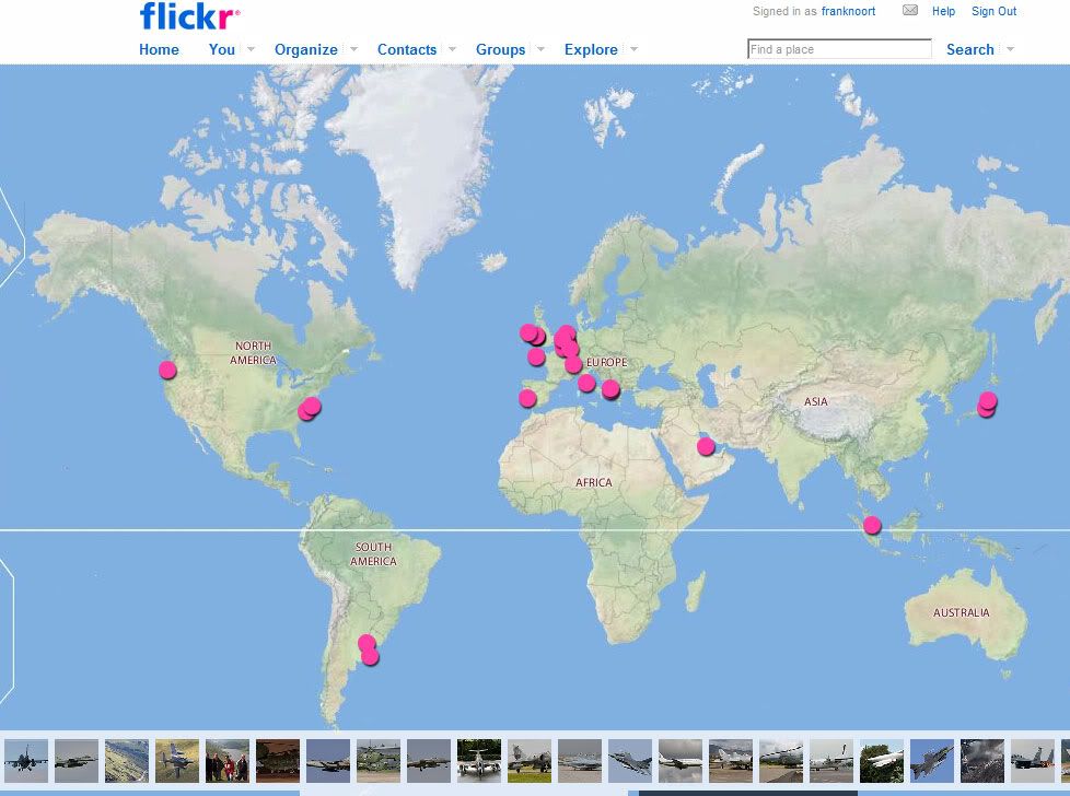
If I then export it to flickr.com or i can export them to Google Earth as well. I am still working on it, but in the end it would be nice to have map with all the dots where I have been.
Here is an example.
http://www.flickr.com/photos/franknoort/map/" onclick="window.open(this.href);return false;


